Instream Flow Studies
Comprehensive Instream Flow Studies for Waterways
Instream Flow Studies
Habitat Suitability Curve (HSC) Development
Project: Carmel River Habitat Suitability Curve (HSC) Development (2016)
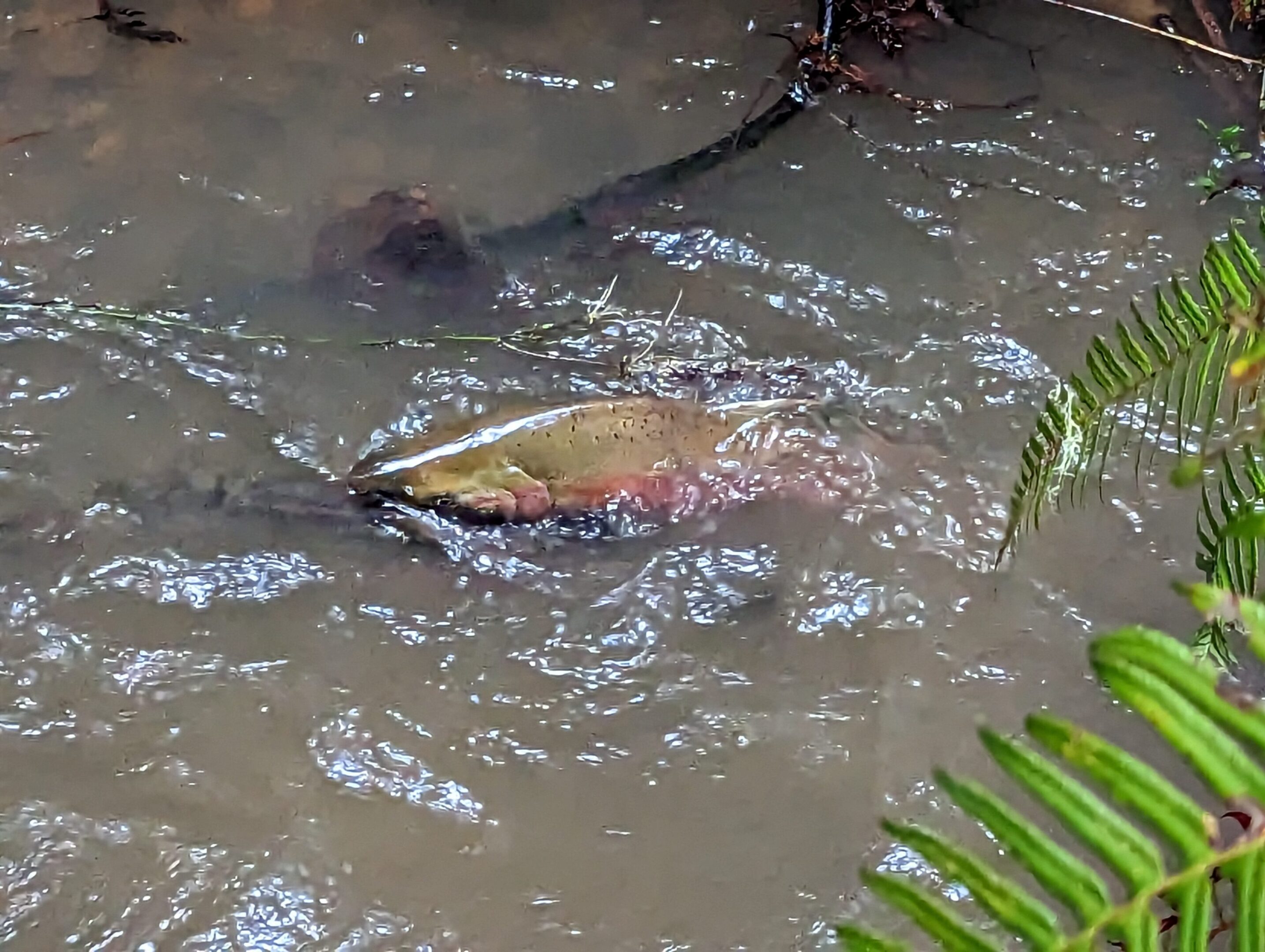
Historically, the Carmel River south of Monterey, CA, supported annual returns of Steelhead numbering between 12,000 and 20,000 adult fish. But by 1997, Carmel River Steelhead were listed as a threatened species under the Endangered Species Act, and in 1999, the Carmel River itself was named as one of the nation’s 10 most endangered rivers. During the 2012-2013 season, 249 adults were reported at San Clemente Dam, and 65 adults were reported at Los Padres Dam. The San Clemente Dam was removed in 2015 as the centerpiece of ongoing comprehensive restoration efforts. The Monterey Peninsula Water Management District (MPWMD), founded in 1978, provides water supply for approximately 112,000 area residents while promoting water conservation and environmental stewardship, especially with regard to local streamside habitats. MPWMD has taken a leadership role in Carmel River restoration efforts as well as efforts to recover ESA-listed South Central California Coast steelhead populations.
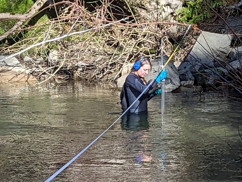
Habitat suitability criteria (HSC) data are a description of the relative quality of aquatic habitat components, such as water depth, water velocity, substrate type, and instream or overhead cover, on a scale of 0 (not suitable) to 1 (optimal) for the species of interest. In 2016, MPWMD initiated plans to conduct instream flow studies for assessing the potential effects of flow management activities on aquatic habitat for steelhead, and retained Normandeau Associates, Inc. (NAI) to assist in determining the most appropriate HSC data for Carmel River steelhead. TGAEC was a subcontractor to NAI and assisted with testing the transferability of habitat data of four different data HSC studies by collecting field data of habitat characteristics in the Carmel River, where steelhead were present (occupied positions) versus where they were absent (unoccupied positions).
Instream Flow Studies
Project: Skagit Tributary Instream Flow Study (2022-2025)
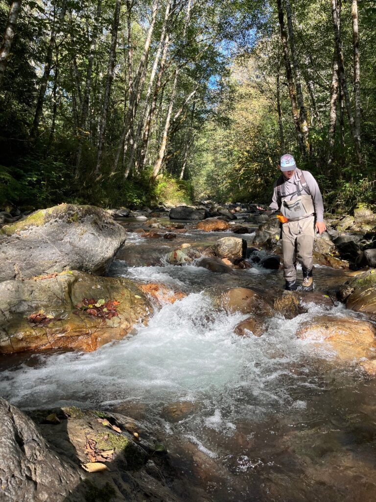
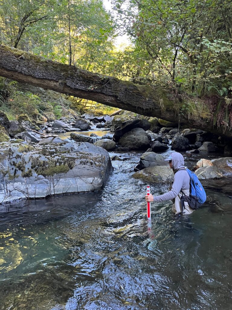
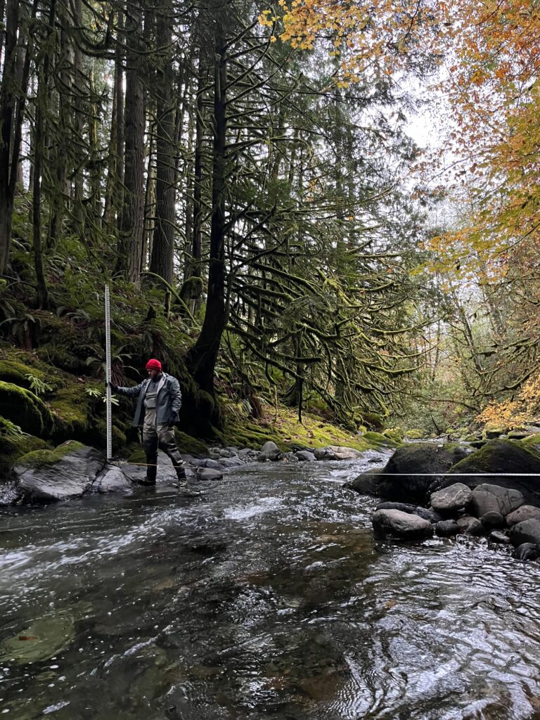
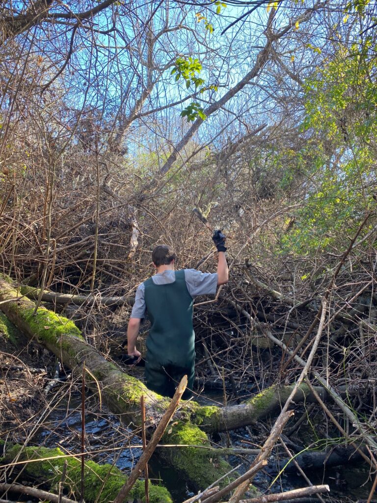
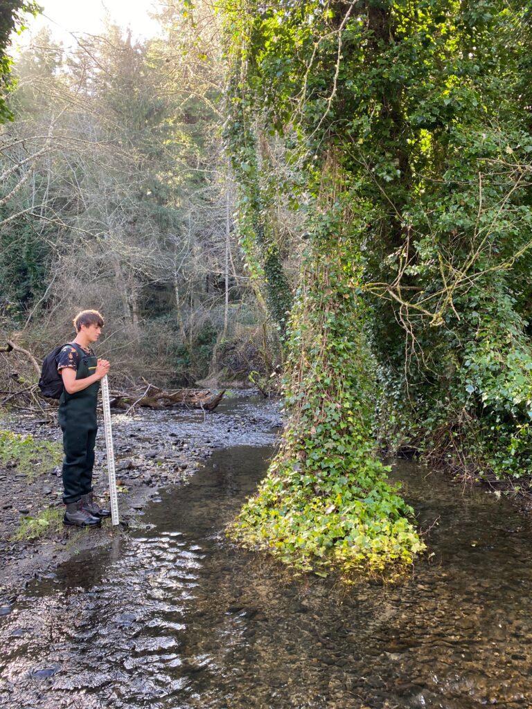
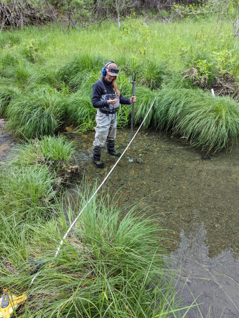
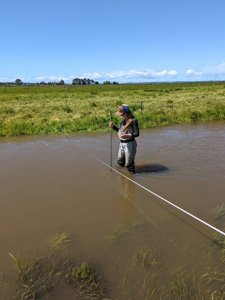
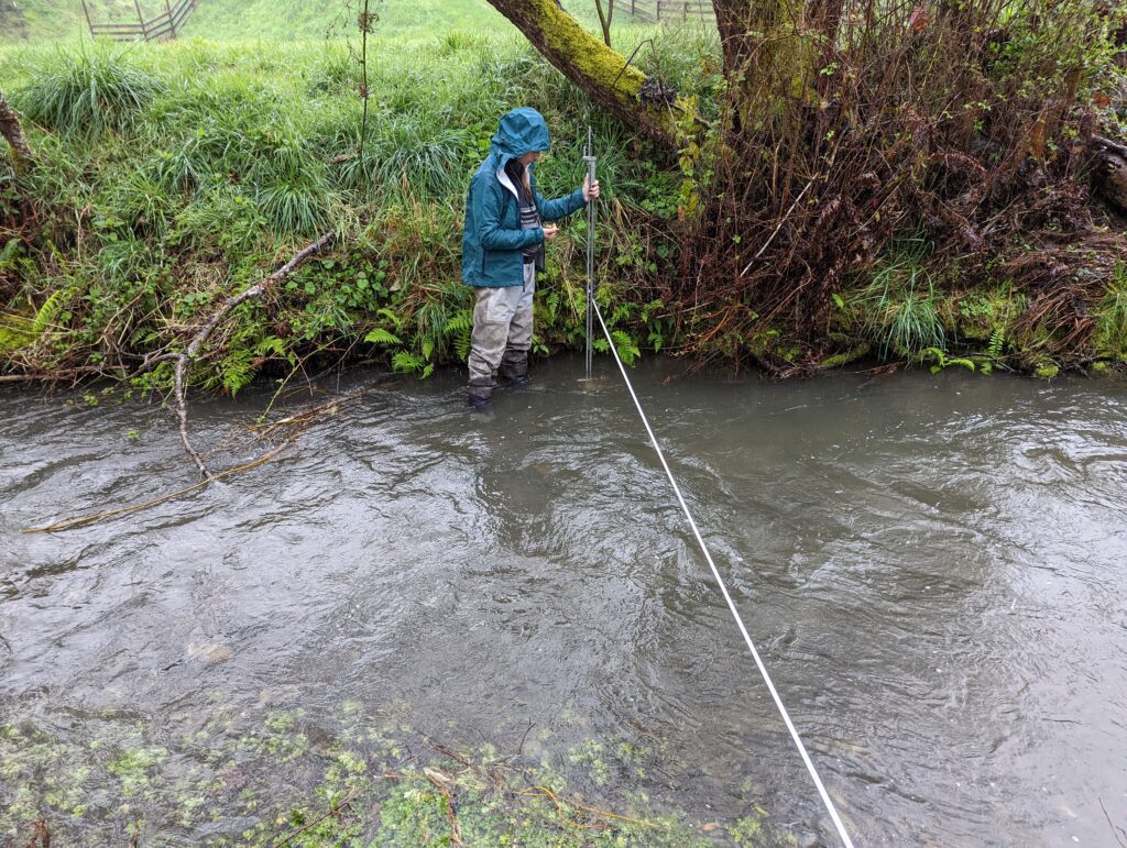
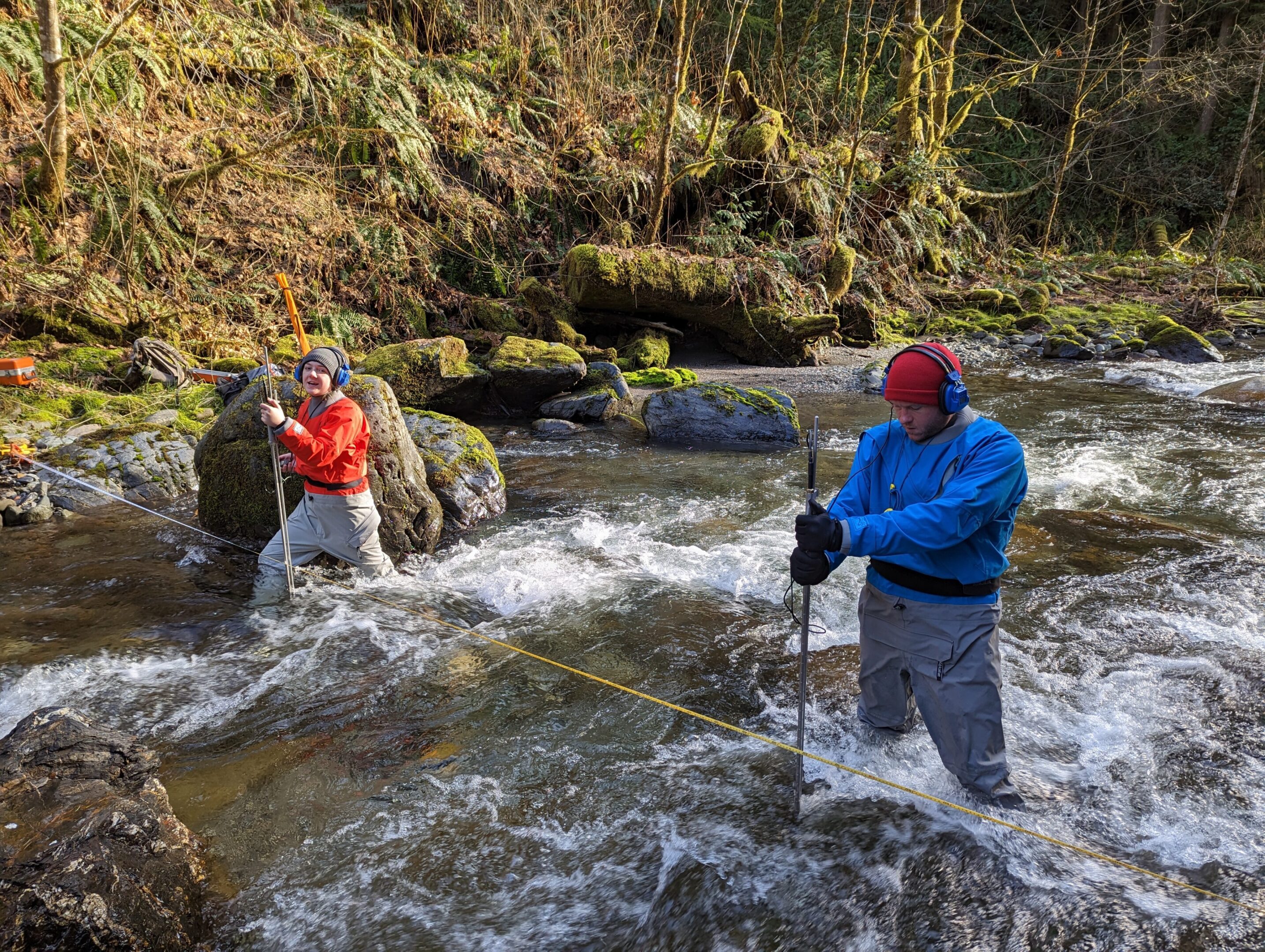
The Washington State Joint Legislative Task Force on Water Supply engaged Thomas Gast & Associates Environmental Consultants (TGAEC) to conduct the instream flow study, develop a simulated historic flow record, and compare the resultant habitat value to habitat value under potential climate and development-modified scenarios. TGAEC conducted standard physical habitat simulation instream flow studies on six miles of Grandy Creek. The studies included stakeholder involvement, habitat mapping, transect selection and placement, habitat suitability criteria (HSC) development, hydraulic field measurement, flow simulation, habitat modeling, and hydrologic analysis. TGAEC staff completed stream habitat mapping, measuring the length of individual macrohabitat units over the total distance of the stream within the project area, characterizing substrate and cover throughout the reach. Water surface elevation and velocity measurements were also taken. Staff gauges were established and continually monitored throughout the course of collecting data. A habitat suitability curve was created from all data collected concerning each species that could potentially utilize the site. Habitat simulation and time series analysis were used to create a generic habitat index curve and habitat type distribution graph. Hydraulic simulation was completed with software, along with analysis.
Project: Eel River Valley Groundwater Assessment (2020-2021)
The County of Humboldt selected Mr. Gast’s project team to assess the sustainability of groundwater use in the Eel River Valley Basin. Groundwater in Humboldt County, California, is an important natural resource utilized by 135,000 county residents for residential needs, agricultural irrigation, public supply, and industrial purposes.
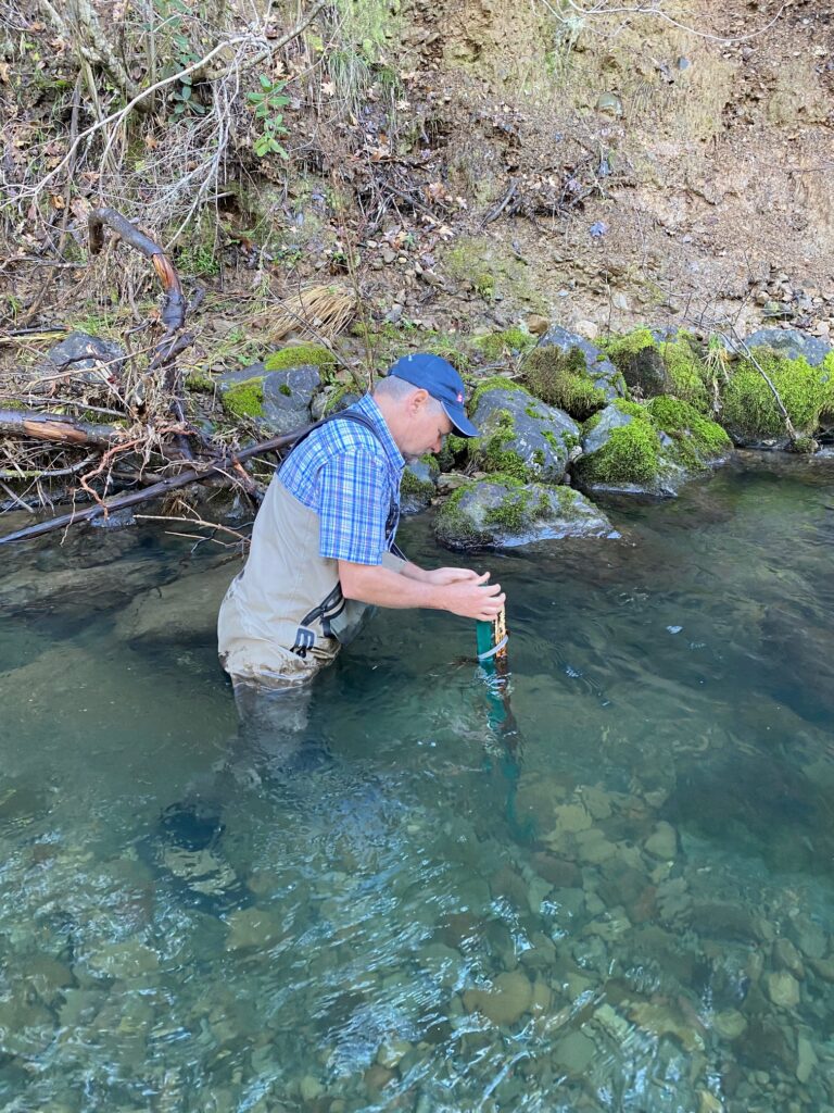
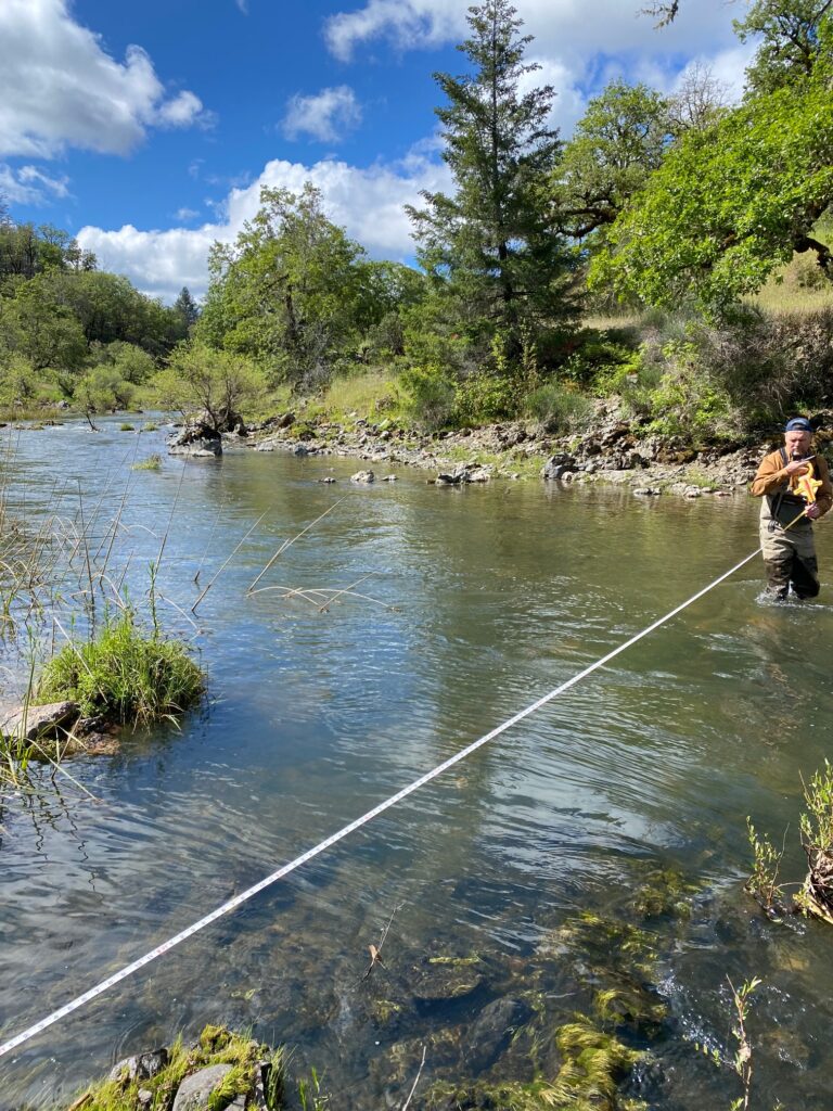
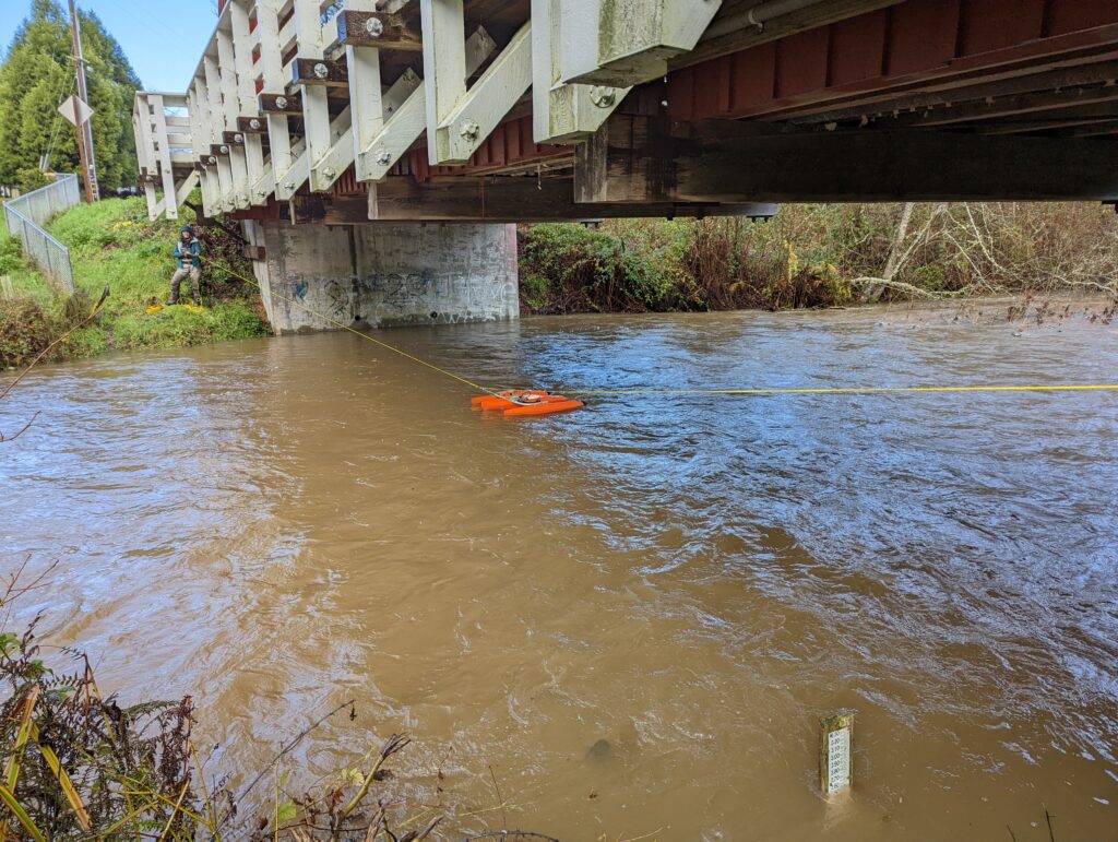
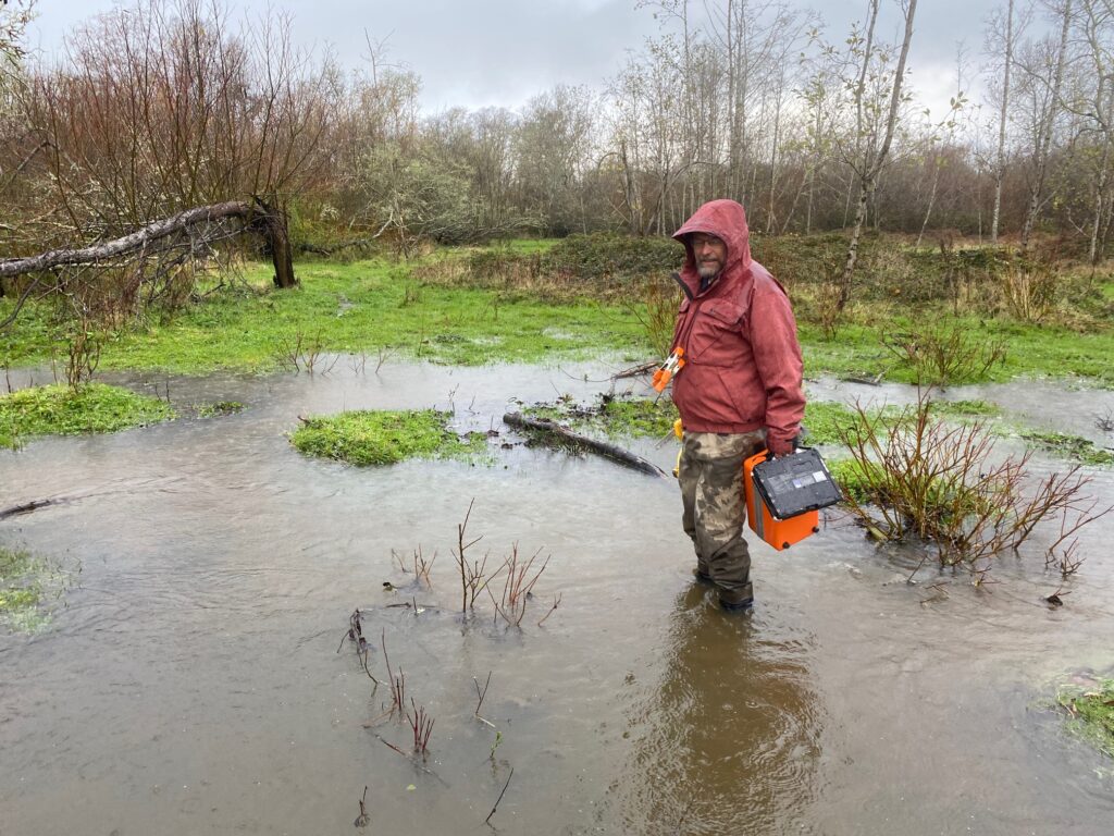
Thomas Gast & Associates Environmental Consultants (TGAEC) completed streamflow and stage measurements at three locations. Water level data loggers were installed along with a barometric pressure logger. At the time of installation, elevation surveys will be conducted to measure the true elevations of water level loggers, water surfaces, stage of zero flow at each monitoring location, and all assigned benchmarks. Discharge measurements will be made at three locations in the Eel River. In addition to measuring stream flow at these locations, TGAEC took spot measurements of water conductivity. TGAEC developed a stage-discharge rating relationship at each logger location to understand groundwater movement in the basin.
Project: Tenmile Creek Water Conservation and Restoration Pilot Planning Project (2018-ongoing)
The Eel River Recovery Project was awarded a CA Proposition 1 grant funding to conduct a pilot conservation and restoration program in the Tenmile Creek watershed near Laytonville, CA. TGAEC’s role in the project is to measure the current hydrological condition, calculate a hydrological baseline through modeling, and provide water storage and environmental flow recommendations.
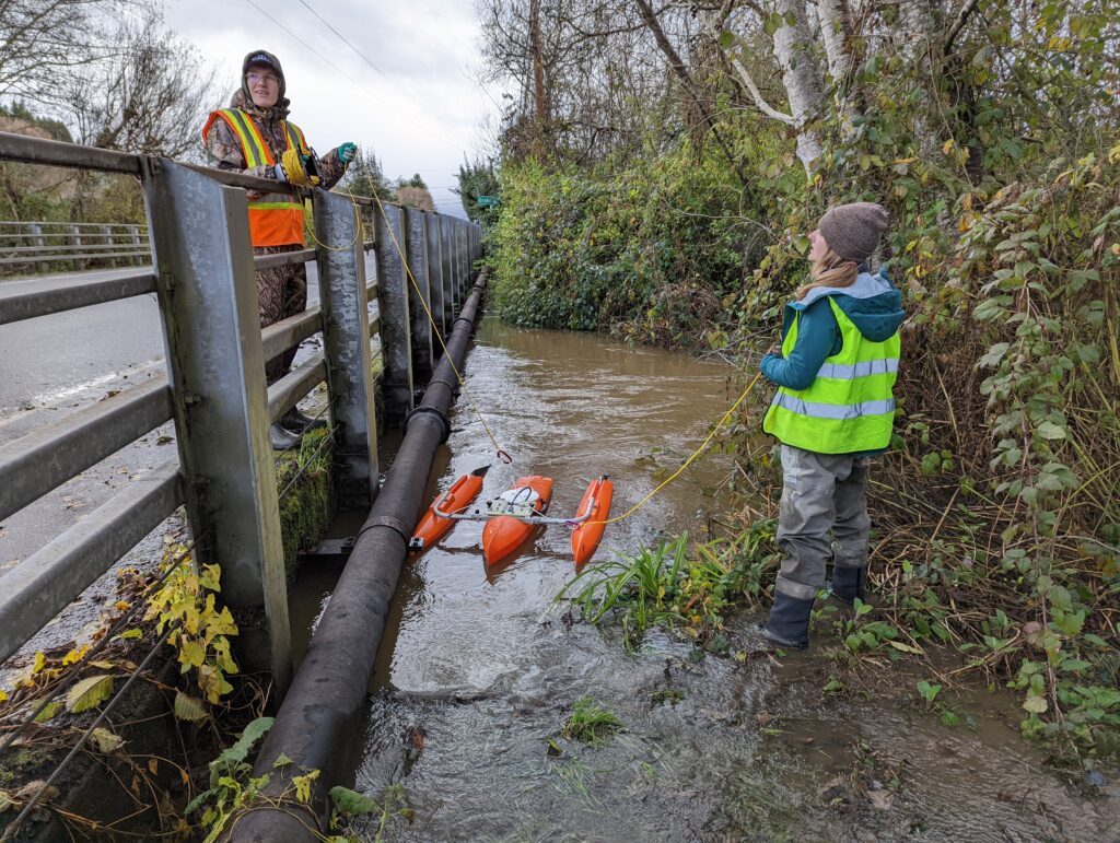
Thomas Gast & Associates Environmental Consultants (TGAEC) conducted discharge measurements at 6 gauging locations in the watershed and developed stage-discharge rating curves for each location. TGAEC has also performed GIS and statistical analyses to assist in the calibration of a distributed hydrological model to estimate historical streamflow in two tributary subbasins (Streeter and Big Rock Creeks).
TGAEC used the U.S. EPA Visualizing Ecosystem Land Management Assessments (VELMA) model to estimate historical streamflow and establish an ecological baseline for Big Rock and Streeter Creeks. VELMA is a spatially distributed ecohydrology model designed to simulate changes in streamflow and forest biomass under different land use and disturbance conditions (e.g., timber harvest and wildfire). The model utilizes elevation, land use, soil type, precipitation, temperature, and tree age to simulate catchment runoff resulting from the chosen land use conditions. These simulations can be compared against observed flow measurements from existing stream gauges to assess model performance. After calibrating VELMA for performance in an adjacent unimpaired reference basin with an extended gauging record (Elder Creek), TGAEC estimated historic and naturalized streamflow without surface water diversions in Streeter Creek and Big Rock Creek.
Project: Eel River Valley Groundwater Basin Study (August 2016- 2017)
The County of Humboldt selected Mr. Gast’s project team to assess the sustainability of groundwater use in the Eel River Valley Basin. Groundwater in Humboldt County, California, is an important natural resource utilized by 135,000 county residents for residential needs, agricultural irrigation, public supply, and industrial purposes. In 2014, the State of California passed the Sustainable Groundwater Management Act (SGMA) legislation that established a framework for sustainable groundwater management throughout the State. For groundwater basins designated “high or medium priority” by the State Water Board, such as the Eel River Valley, the SGMA requires the development of a groundwater sustainability plan (GSP) containing measures to ensure that the basin is operated within its sustainable yield.
The County of Humboldt is the local public agency tasked with implementing the SGMA. As an alternative to developing a groundwater sustainability plan, the SGMA contains provisions allowing the County to submit a report prepared by a registered professional engineer or licensed geologist analyzing basin conditions and demonstrating that the basin has operated within its sustainable yield over a period of at least 10 years.
Mr. Gast’s primary responsibility for this project was to inform the construction of a Water Balance Model for the basin from surface flow measurements taken from multiple locations on both the mainstem Eel and the lower Van Duzen River - an important lower Eel River tributary. Analysis of surface flow data was identified as a critical piece of the water balance, and Mr. Gast was responsible for the final siting, design, and implementation of the surface water measurements (Figure 3). He is also supervising QA/QC of all field data and outputs from the software, and was preparing figures and final reports.
Project: Trinity River Compilation and Analyses (2021)
TGAEC was tasked with evaluating resource availability, fish habitat, and stream conditions with available datasets to make determinations regarding the Lewiston Dams' release of water and the outflows' impact on salmonid migration. Evaluation of the influence of water temperature on the outmigration timing of Trinity River Chinook salmon was completed by evaluating weather and weekly-averaged flow. Bioenergetics models and methods were coded to simulate daily growth and consumption of Chinook juveniles. These models had correlating graphs created to demonstrate habitat and resource availability. Multiple regression models were used to assess the influence of population density and river flow on the total consumption by Chinook juveniles trapped at the Willow Creek trap on specific dates. Flow-based and mark-recapture population estimates as predictors were also evaluated, where findings were analyzed and discussed. The predictive ability was quantified based on the HDAT model proposed by Hayden and Heacock. The Pear Tree Accumulated Daily Temperature Model (PDAT) was used for analogous accumulated temperature and threshold analysis, as well as predictive accuracy of Pear Tree ATU threshold models. Finally, TGAEC evaluated the historical differences between Chinook salmon outmigrant abundance/population on the Trinity River pre and post implementation of the Record of Decision (ROD) flows. Impacts of the conditions analyzed compared to the Trinity River influence from the dam activity, as well as the model evaluations, were discussed and reported.
Mitigation Measure Development
Project: Environmental Assessment Review and Ranchland Streams Habitat Evaluation Procedure (HEP) (2016- 2018)
New Gold, Inc., is an intermediate-sized mining company located in Vancouver, British Columbia, producing 405,000 to 445,000 ounces of gold annually. Blackwater is one of New Gold’s future growth projects and is located approximately 160 kilometers south-west of Prince George in south-central British Columbia. New Gold is in the process of developing an application to obtain a Provincial Environmental Assessment certificate (EA) for Blackwater, which is a prerequisite for new mining developments in British Columbia. New Gold’s EA is currently in the review phase. The British Columbia Ministry of Environment has adopted a policy that when a development project (such as a new mine) is proposed that could adversely affect environmental resources, project applicants must propose offsetting and mitigation measures to compensate for expected negative impacts.
Thomas Gast & Associates Environmental Consultants (TGAEC) was retained to conduct an expert-level review of proposed fisheries offsetting and mitigation measures related to the mine development, as well as provide technical knowledge regarding fisheries habitat accounting and instream flow methodology. TGAEC helped review the habitat stratification and accounting measures used for inventorying the impacted areas using the Habitat Evaluation Protocols (HEP) for Rainbow Trout, Chinook, and Kokanee salmon. TGAEC also assisted in developing protocols for the implementation of HEP stream surveys on ranchland streams that quantified the ability of proposed restoration projects to offset the mine’s impact on fish habitat.
Gallery