Bathymetry Studies
Bathymetry Studies
- Streams
- Rivers
- Lakes
- Estuaries
Project: Klamath Dam Removal Bathymetry Studies (2023-ongoing)
Located along the lower Klamath River, the Pulikla Tribe of the Yurok People (PTYP) partnered with environmental specialists to evaluate sediment transport dynamics following the removal of upstream dams. The Klamath River, one of the most significant salmonid waterways in the Pacific Northwest, has undergone the largest dam removal and river restoration effort in U.S. history. To understand how sediment redistribution affects aquatic habitats, channel morphology, and water quality, bathymetric surveys were conducted throughout multiple phases of the dam removal.
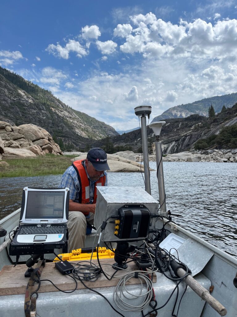
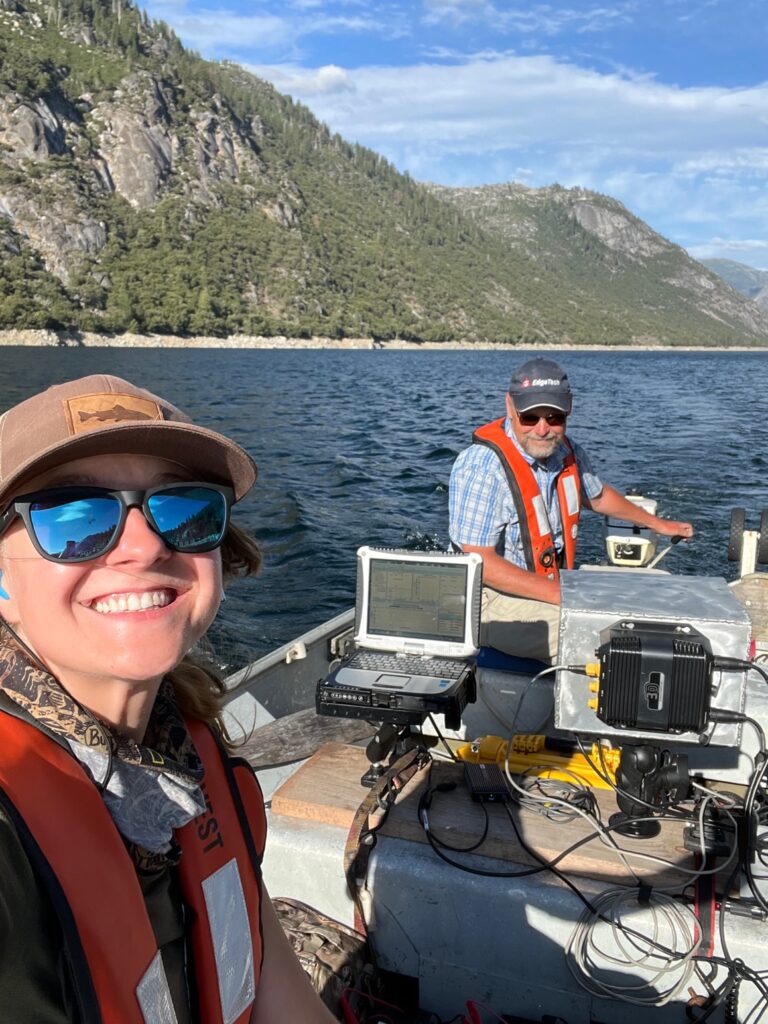
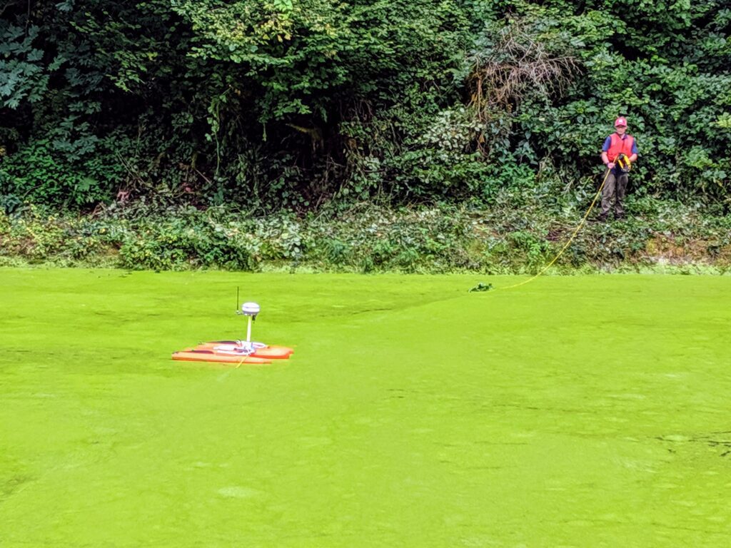
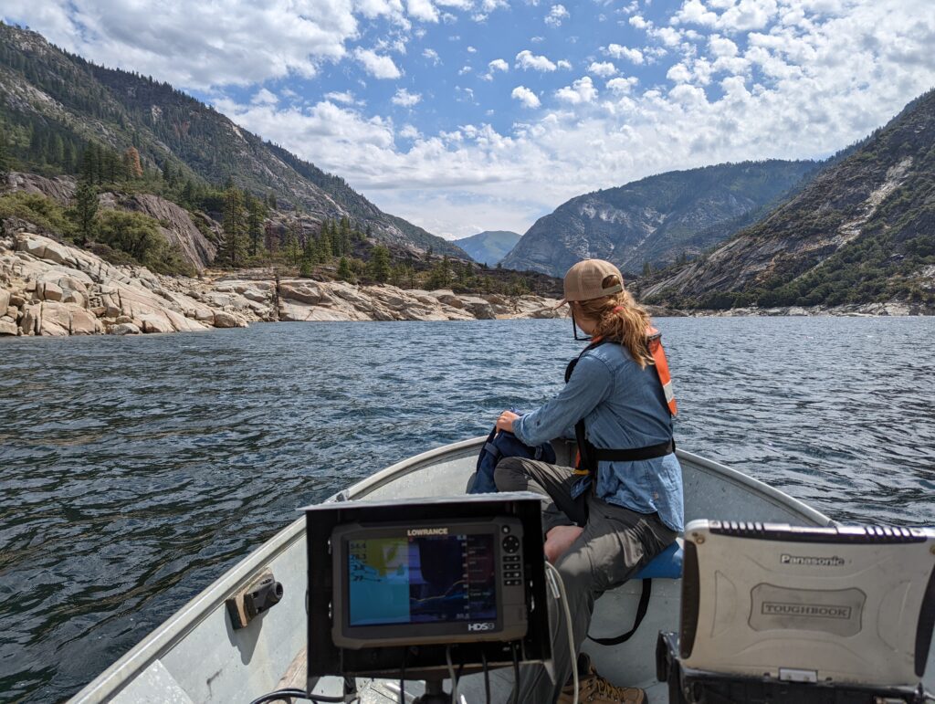
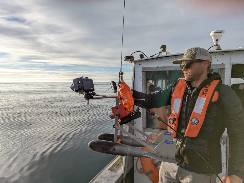
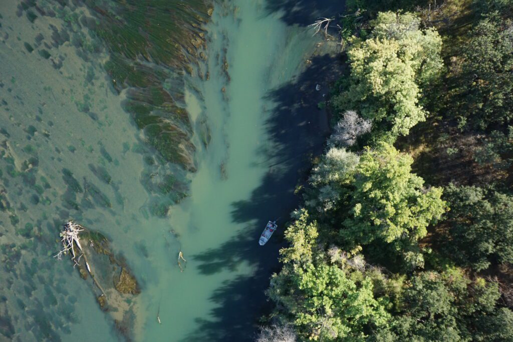
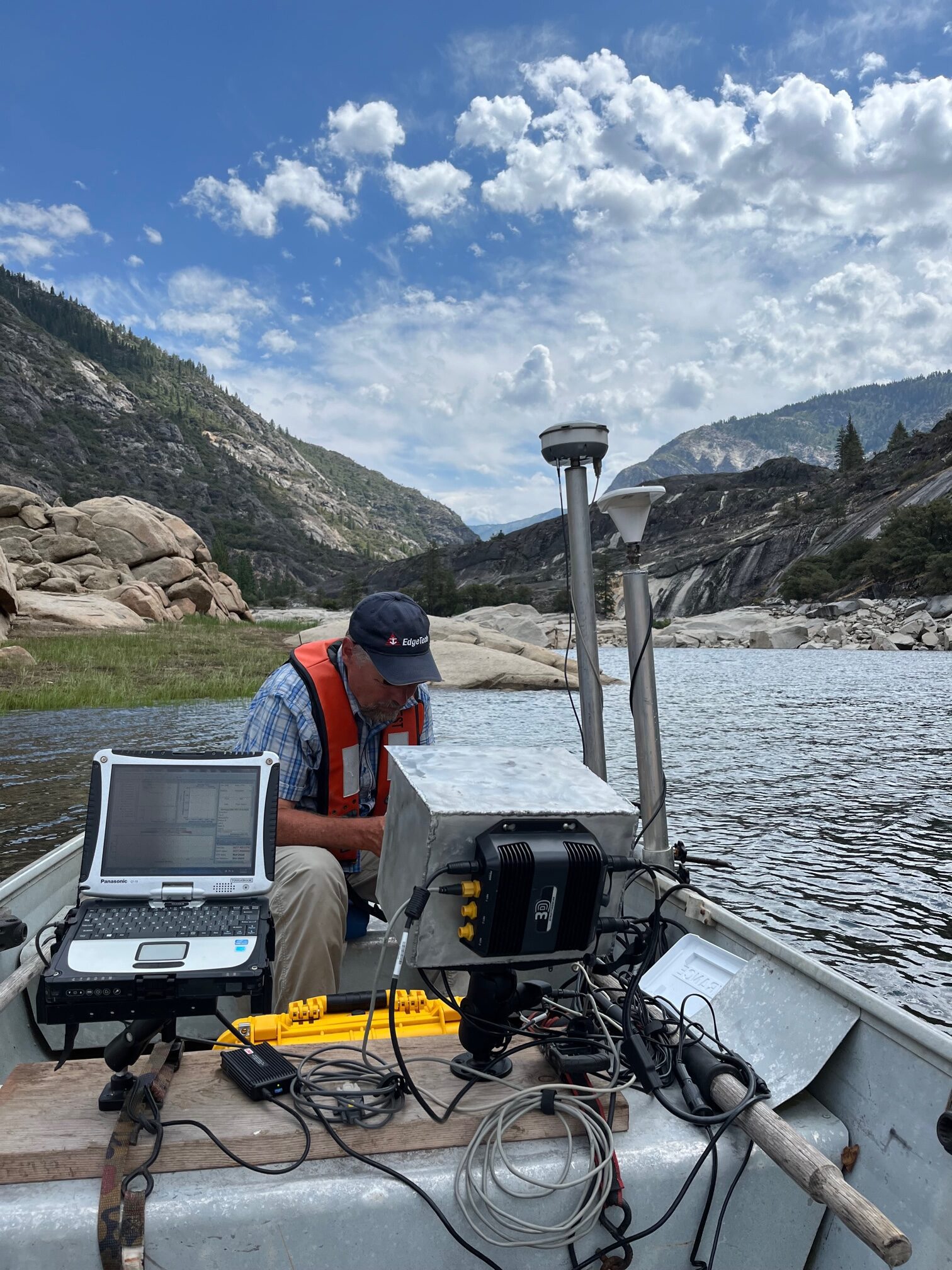
Using a combination of boat-mounted sonar scanning (a TRDI RiverPro Acoustic Doppler Current Profiler (ADCP) integrated with an acoustic vertical beam (to provide five-depth measurements per second) and a survey-grade GNSS/GPS antenna integration (for position and velocity reference)) and on-ground personnel surveys, the Thomas Gast & Associates Environmental Consultants (TGAEC) field team collected high-resolution bathymetric data across the river channel. These efforts provided detailed insight into sediment deposition throughout the downstream river reach of the former dam sites.
Following data collection, the TGAEC team completed a comprehensive analysis of the bathymetric survey results, producing detailed GIS maps and technical reports that documented patterns of sediment movement and geomorphic change along the Resighini reach of the Klamath River. This analysis helped quantify the extent of sediment redistribution over time and provided a visual framework for understanding the system’s post-dam removal dynamics.
Project: City of Eureka Bathymetry, Depth, and Elevation Surveys (2023)
Thomas Gast & Associates Environmental Consultants (TGAEC) completed a bathymetric assessment of the water depths of docks throughout Eureka, California. Facilities include Eureka small boat basin, Commercial Street Dock, Fisherman’s Terminal, F Street Dock, Caito Fisheries Dock, Aquatic Center Dock, Adorni Dock, Bonnie Gool Dock, and Samoa Bridge Boat Launch. Manual depth and elevation measurements were also conducted. Depths and GIS maps were made available to demonstrate the depths and elevations in the areas of interest.
Project: Lower Bear, Upper Bear, and Salt Springs Reservoir Bathymetric Survey (2022)
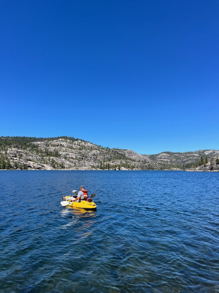
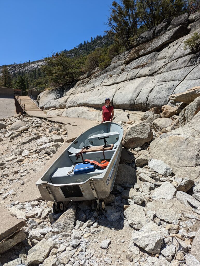
Thomas Gast & Associates Environmental Consultants (TGAEC) conducted bathymetric surveys on three reservoirs in August 2022: Lower Bear River Reservoir, Upper Bear River Reservoir, and Salt Springs Reservoir on the Mokelumne River. Bathymetric data was collected using a combination of boat-mounted sonar scanning (a TRDI RiverPro Acoustic Doppler Current Profiler (ADCP) integrated with an acoustic vertical beam (to provide five-depth measurements per second) and a survey-grade GNSS/GPS antenna (GPS) integration (for position and velocity reference)). The TGAEC field team collected high-resolution bathymetric data throughout the reservoirs. The integrated ADCP/GPS data was processed using proprietary software developed by TGAEC to extract water depth and position from raw data. Quality control and corrections were performed on the collected data by examining the depth and spatial distribution of points. Bathymetric data were processed and used to create maps of reservoir bed elevations in GIS applications, including smoothed digital elevation maps for each reservoir.
Project: George Inlet Tidal Power Supply Survey
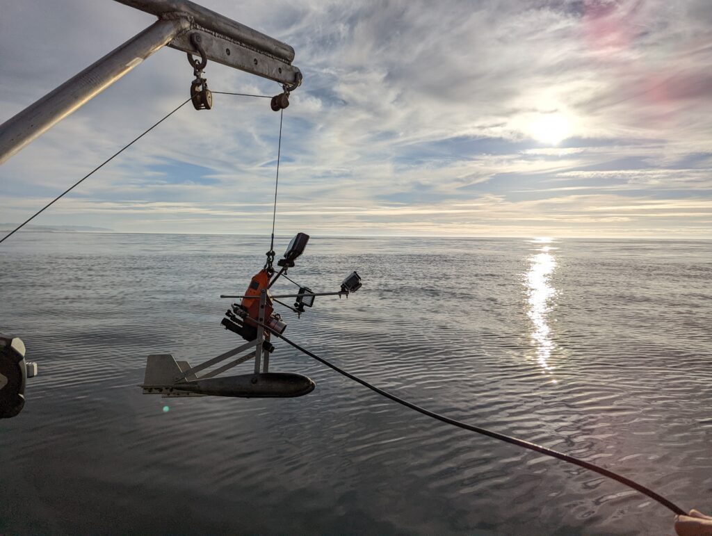
Thomas Gast & Associates Environmental Consultants (TGAEC) conducted bathymetric surveys on the George Inlet. TGAEC completed data collection, processing, and mapping. Boat bathymetry scans were utilized to develop high-definition water velocity magnitude and bathymetric maps. The data was used to assess the viability of tidal power generation in the entrance of the cove.
Gallery