Stream Flow Measurements and Water Quality Monitoring
Streamflow Measurements
Comprehensive Water Quality Monitoring Services
Project: Stream Gauge Installation (2025-2026)
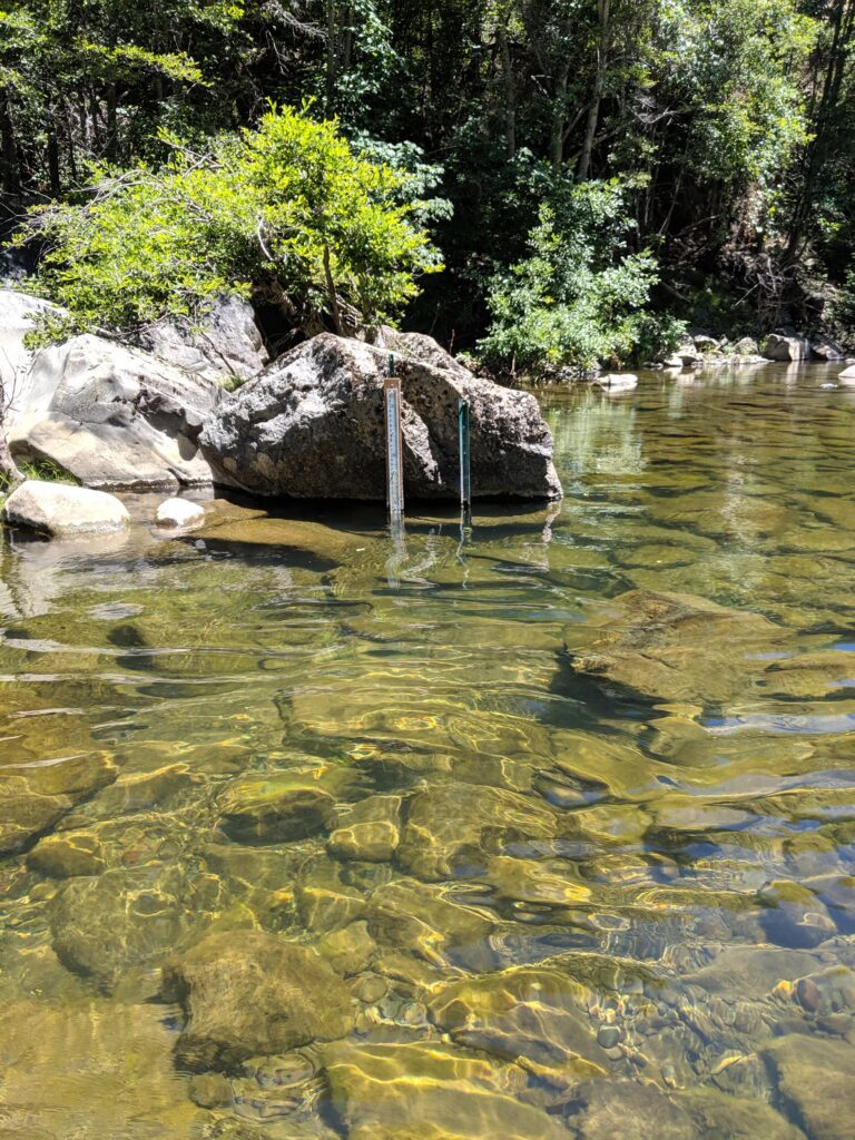
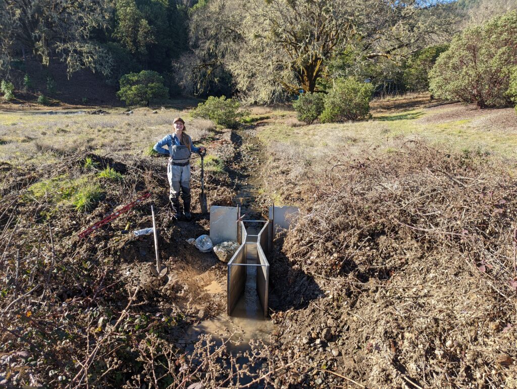
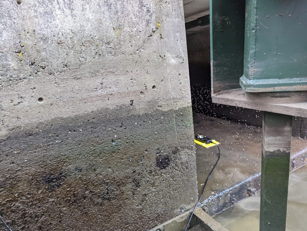
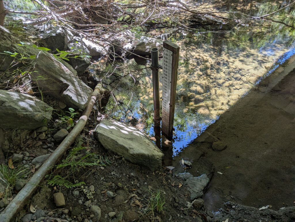
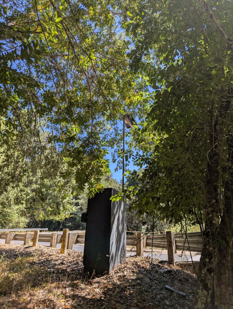
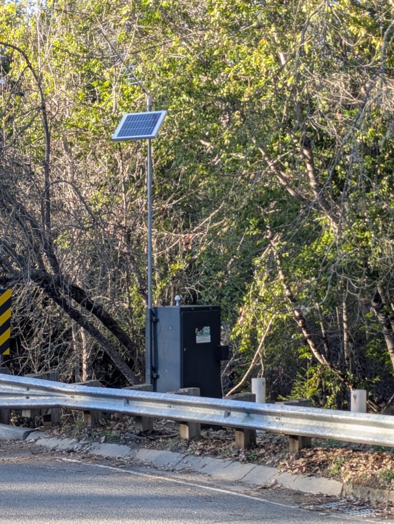
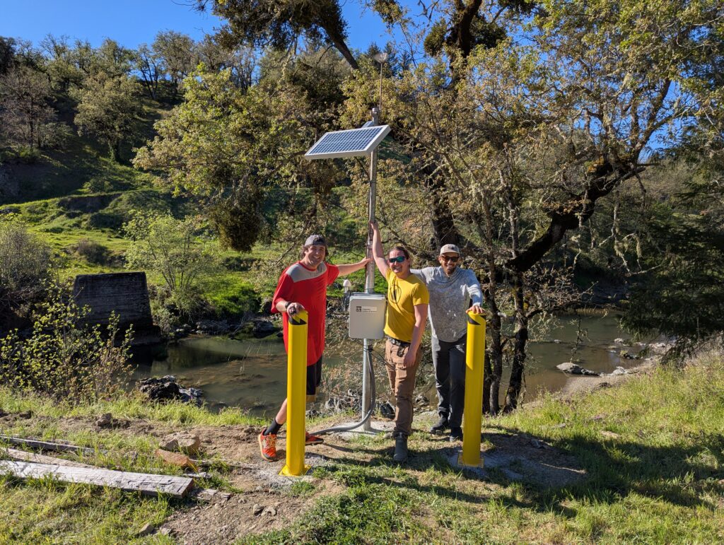
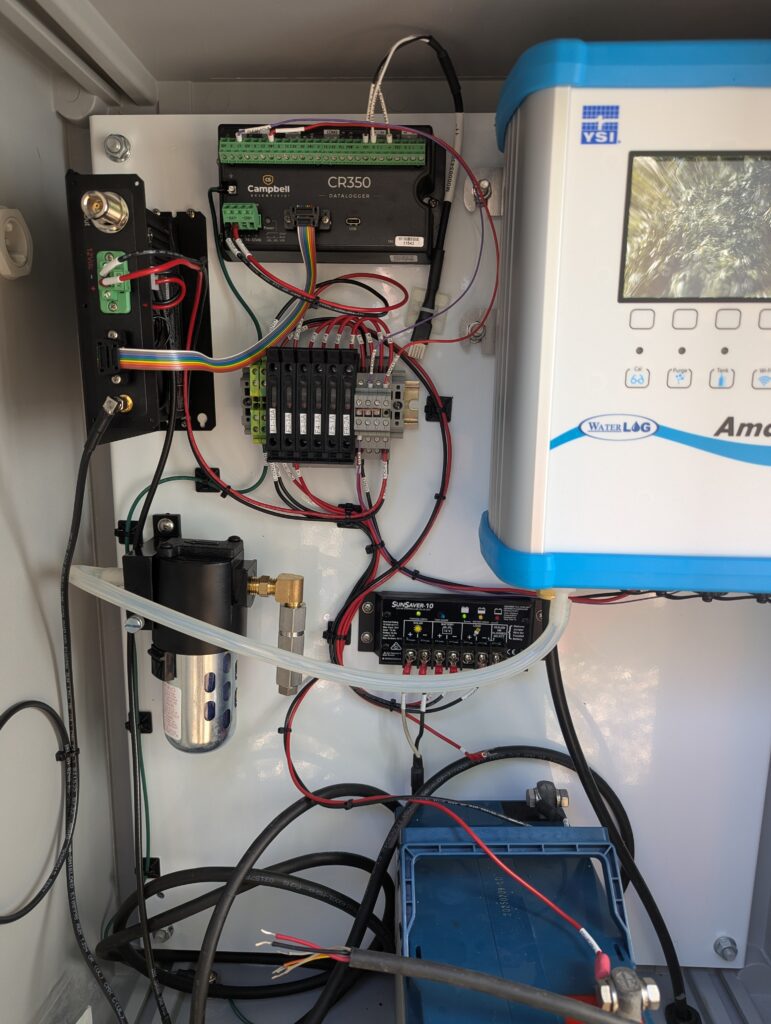
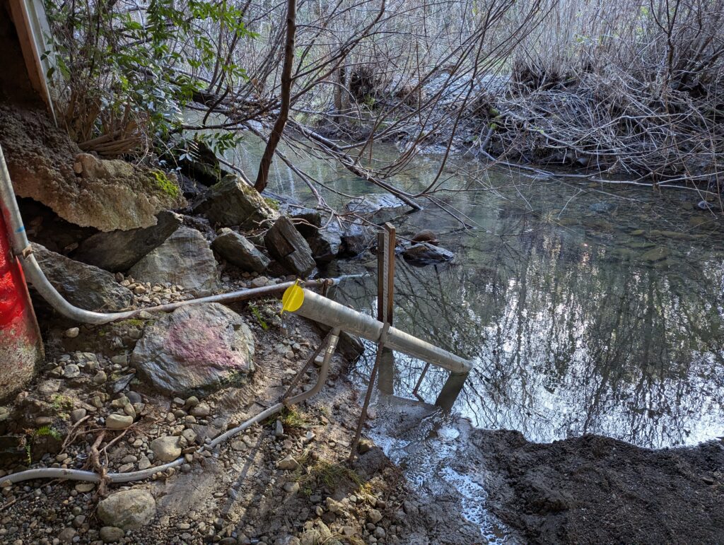
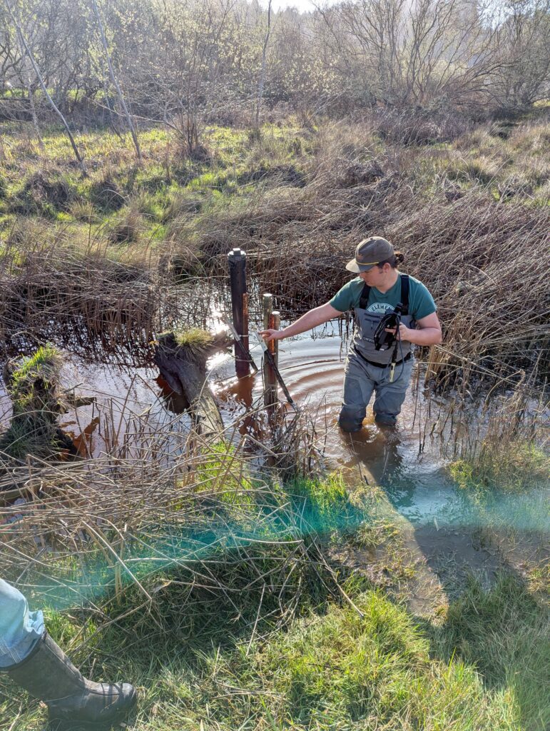
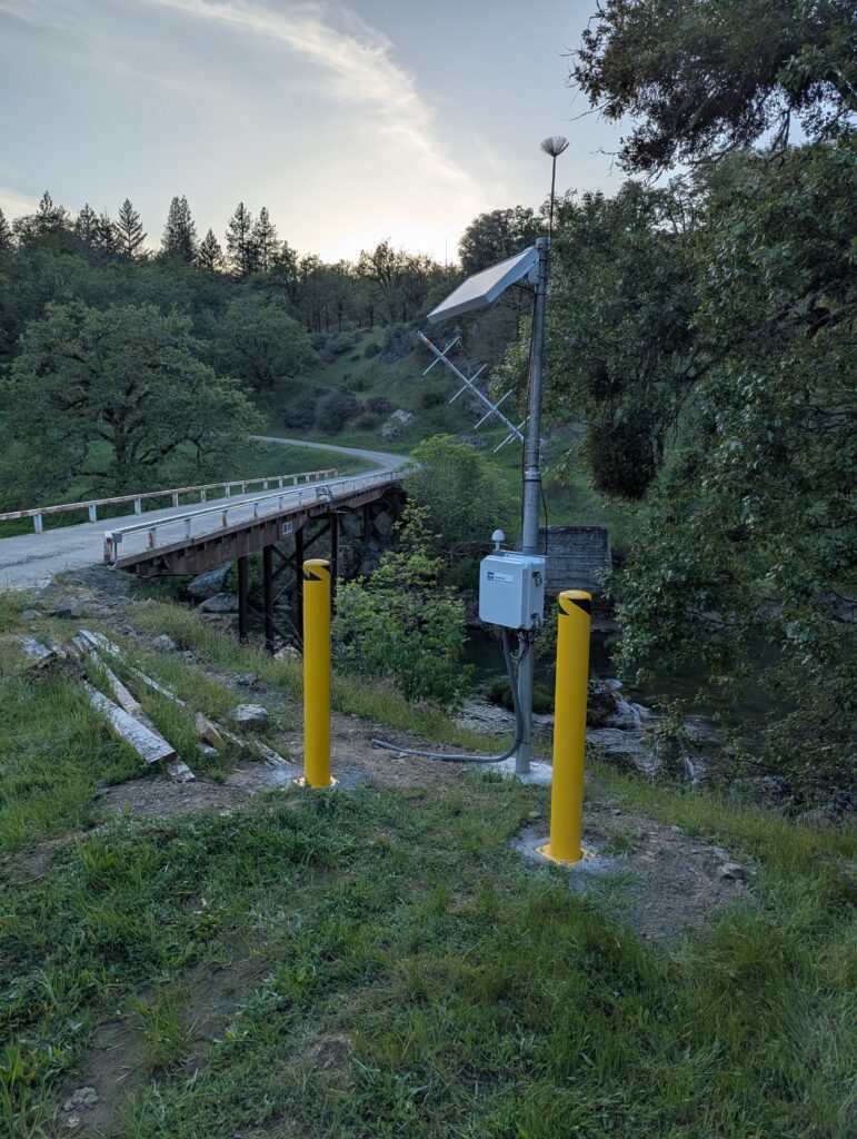
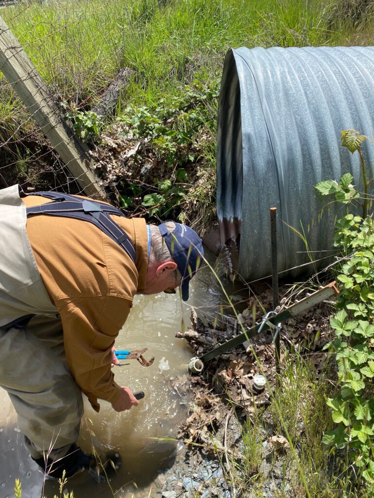
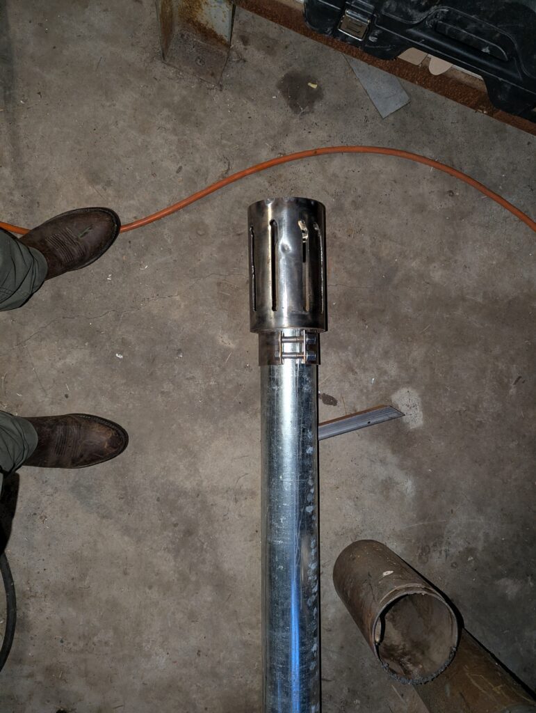
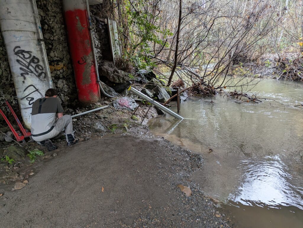
The Cahto Tribe selected Thomas Gast & Associates Environmental Consultants (TGAEC) to install a stream gauge and EXO3s Sonde into Cahto Creek. TGAEC staff ordered and organized the installation with the tribe for proper data collection of the water quality on Cahto Creek. Mr. Gast created the casing that would be used to house the EXO 3s Sonde. Staff completed the setup of the system for ease of use and data exportation of water quality data to outsourced networks. TGAEC staff completed the setup of the EXO3s Sonde, completing calibration and setup of the device. All necessary documents and setup steps were transmitted to the Cahto Tribe for use throughout the season.
Project: Water Quality and Fisheries Vulnerability Assessment for Da'-me' (Smith River Estuary), Smith River, CA (2018- 2020)
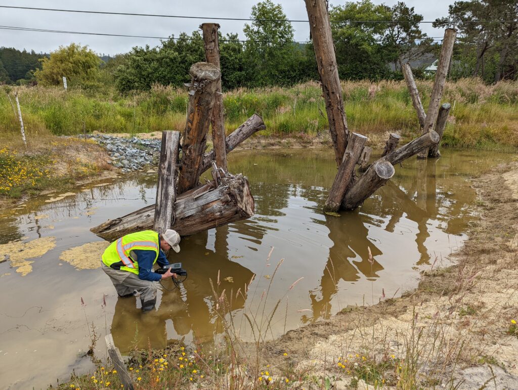
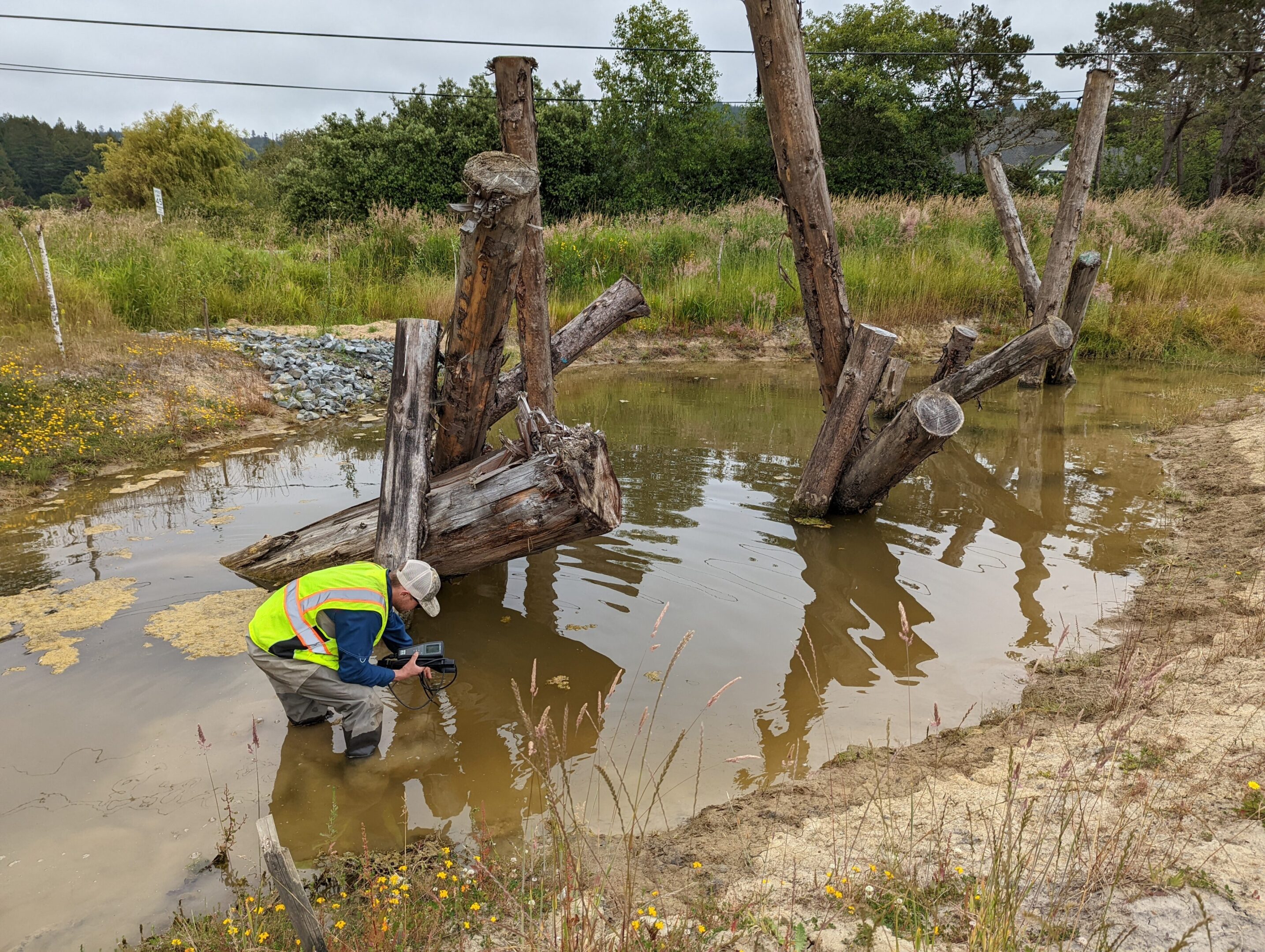
Thomas Gast & Associates Environmental Consultants (TGAEC) was assisting the Tolowa Dee-ni’ Nation (TDN) to implement a multi-year pesticide vulnerability assessment for the Smith River Estuary. TDN was specifically concerned that toxic agricultural contaminants may be negatively affecting estuarine habitat, its reliant species, and ultimately tribal citizens who live and fish in the lower Smith River. This study’s primary objective was to investigate the potential bioaccumulation of contaminants in fish and benthic macroinvertebrates (BMI) from agricultural practices in the Smith River Plain, as well as to document baseline water quality parameters and describe aquatic habitat characteristics in the lower Smith River.
TGAEC provided project management for this collaborative effort with TDN staff. In addition, TGAEC acquired all required permits, formulated sampling strategies, identified final sampling locations, and supervised the fisheries and BMI field sampling activities. Fisheries sampling involved the collection of voucher specimens from native sculpin species, from which tissue samples were analyzed in a laboratory setting to assess for the bioaccumulation of contaminants. BMI sampling utilizes the EPA’s large (non-wadeable) river bioassessment protocols.
Project: Eel River Valley Groundwater Assessment (2020-2021)
The County of Humboldt selected Mr. Gast’s project team to assess the sustainability of groundwater use in the Eel River Valley Basin. Groundwater in Humboldt County, California, is an important natural resource utilized by 135,000 county residents for residential needs, agricultural irrigation, public supply, and industrial purposes.
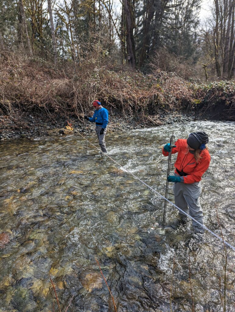
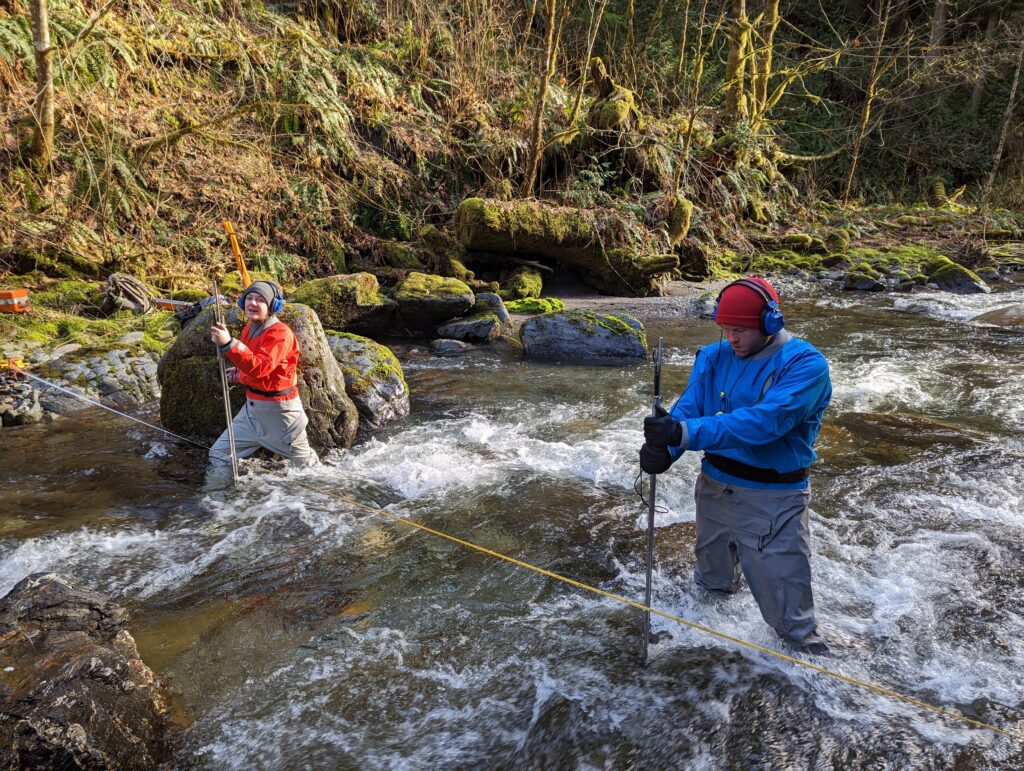
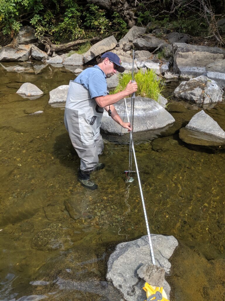
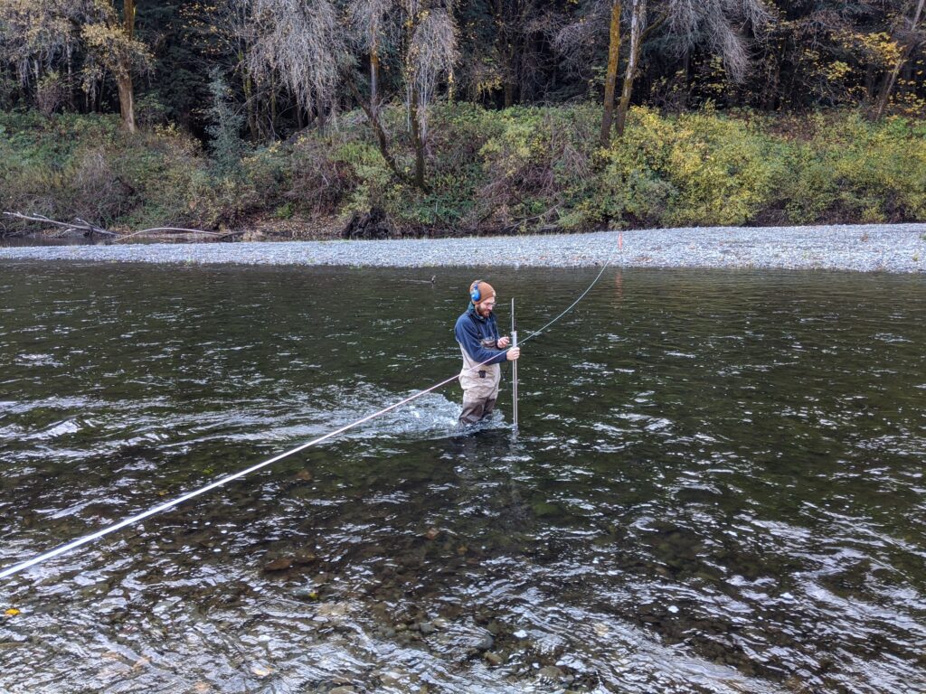
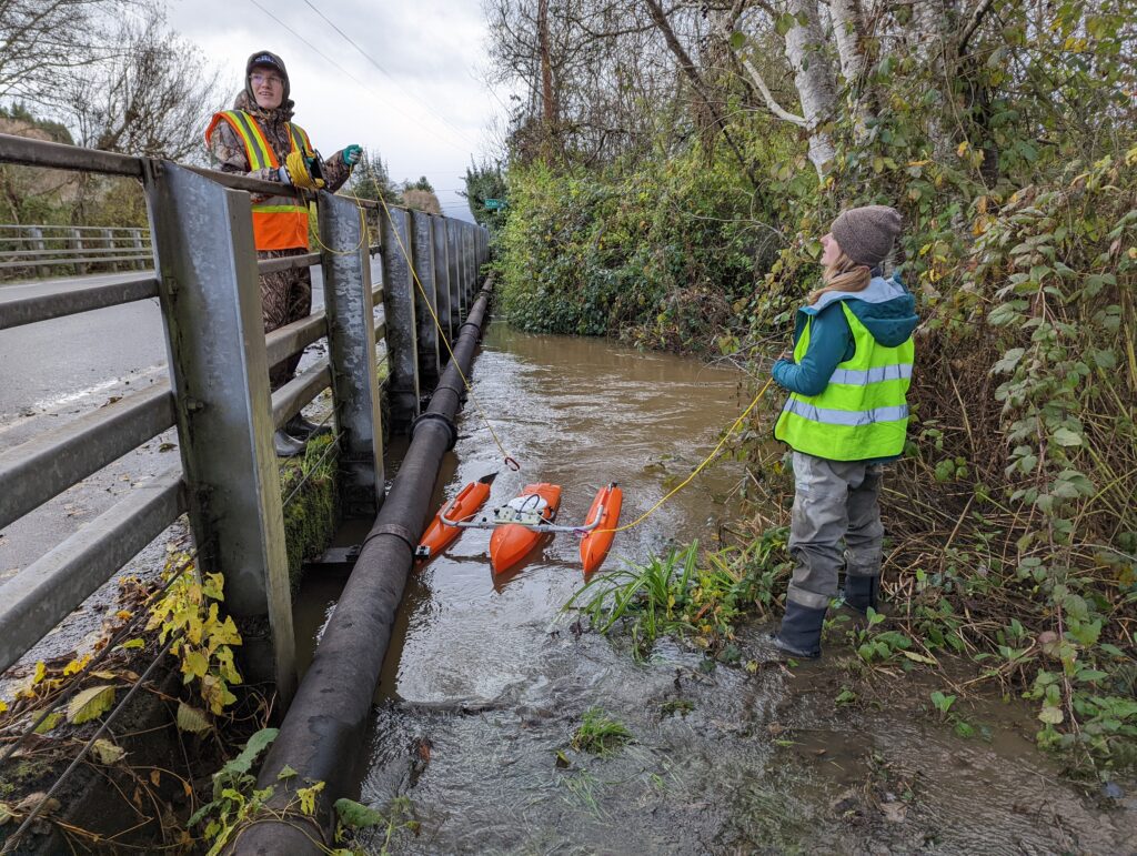
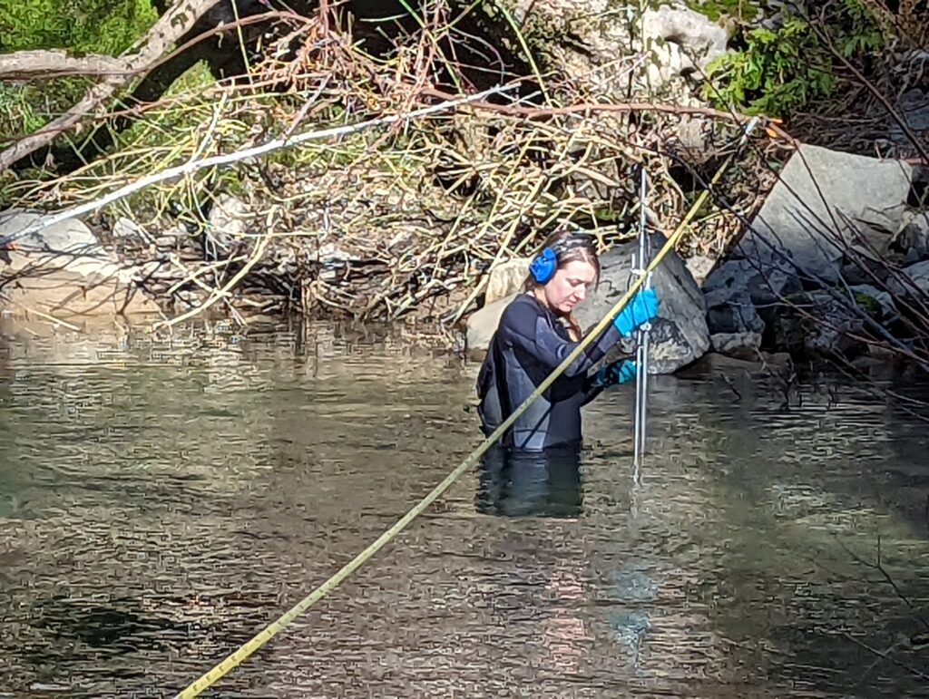
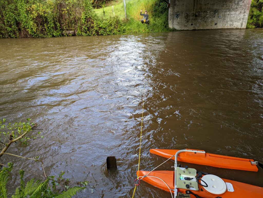
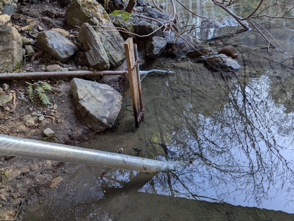
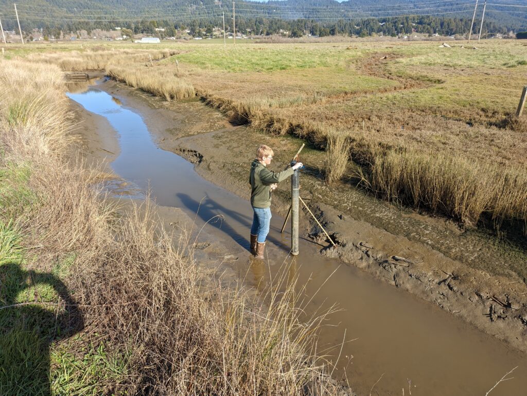
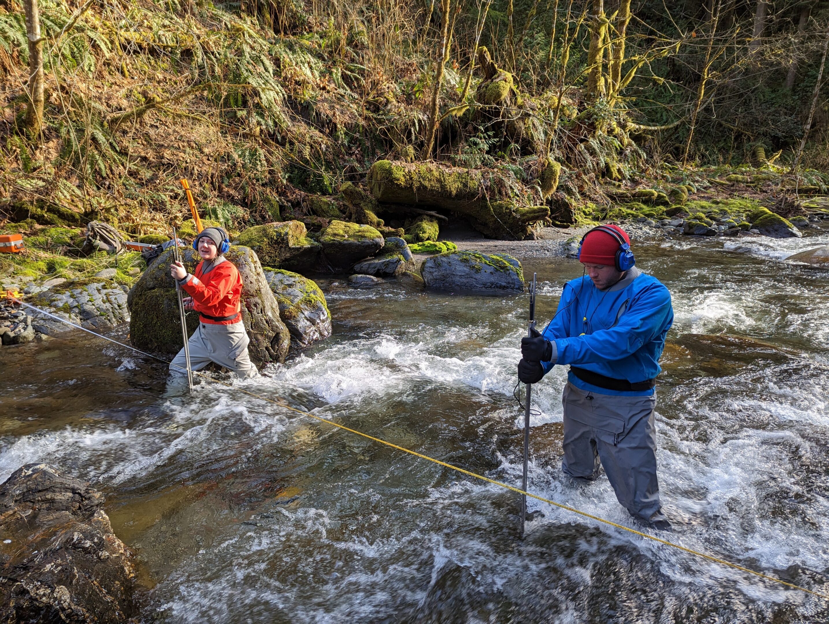
Thomas Gast & Associates Environmental Consultants (TGAEC) completed streamflow and stage measurements at three locations. Water level data loggers were installed along with a barometric pressure logger. At the time of installation, elevation surveys will be conducted to measure the true elevations of water level loggers, water surfaces, stage of zero flow at each monitoring location, and all assigned benchmarks. Discharge measurements will be made at three locations in the Eel River. In addition to measuring stream flow at these locations, TGAEC took spot measurements of water conductivity. TGAEC developed a stage-discharge rating relationship at each logger location to understand groundwater movement in the basin.
Project: Tenmile Creek Water Conservation and Restoration Pilot Planning Project (2018-2021)
The Eel River Recovery Project was awarded a CA Proposition 1 grant funding to conduct a pilot conservation and restoration program in the Tenmile Creek watershed near Laytonville, CA. TGAEC’s role in the project is to measure the current hydrological condition, calculate a hydrological baseline through modeling, and provide water storage and environmental flow recommendations.
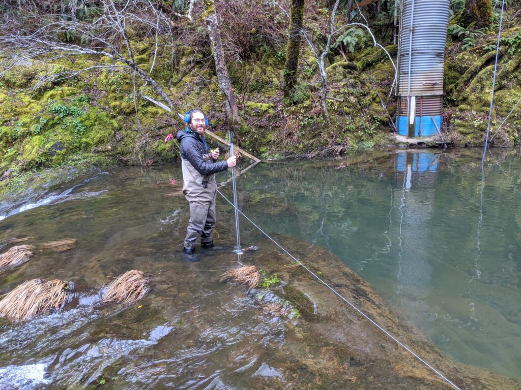
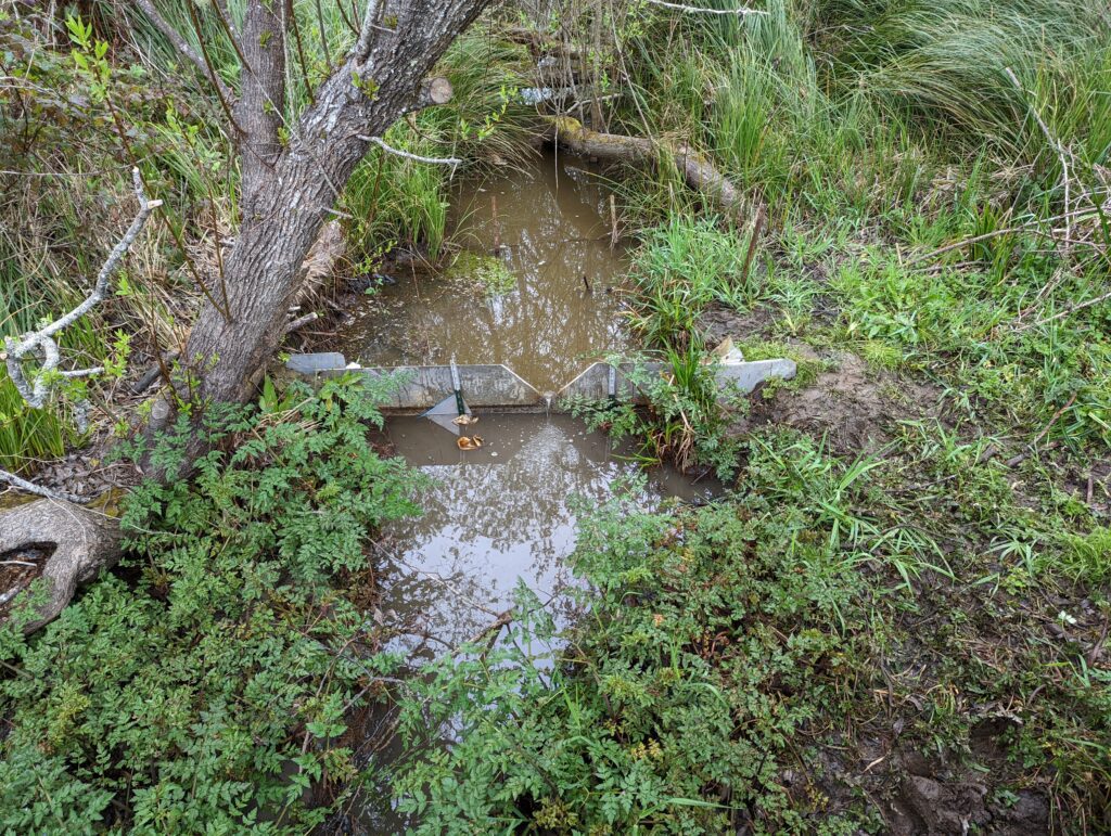
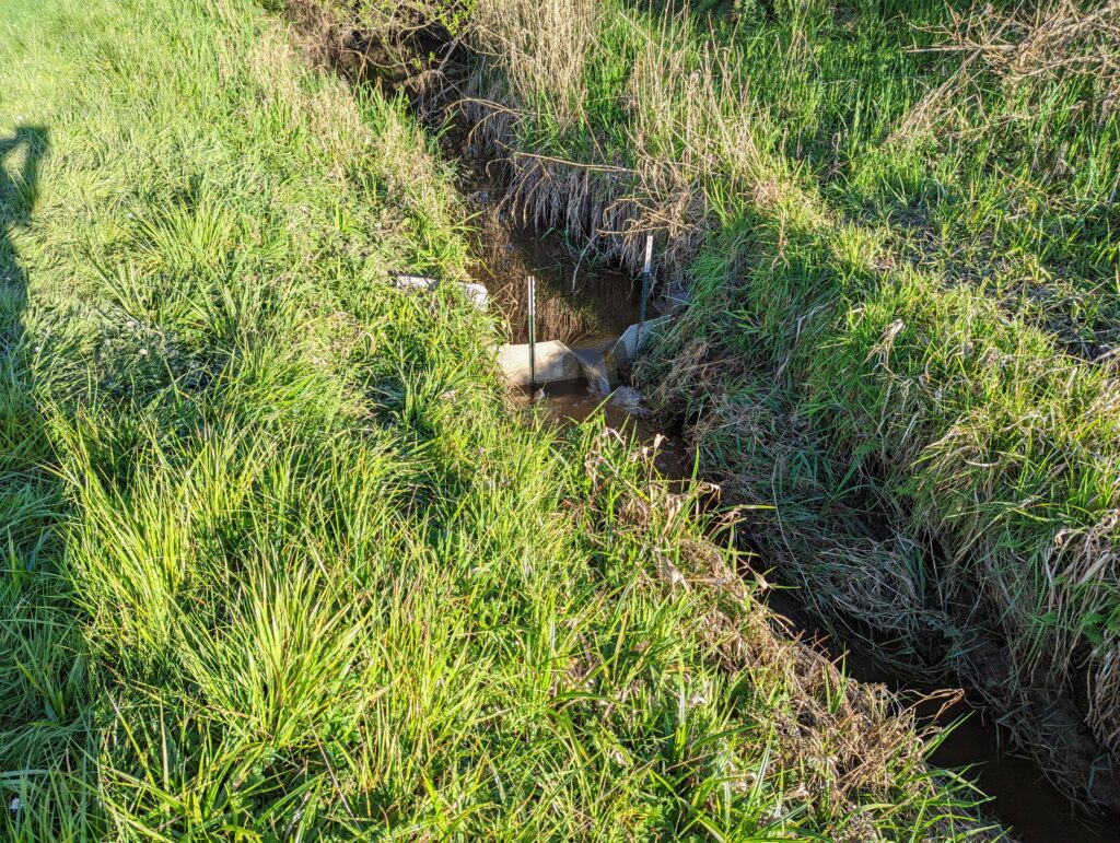
Thomas Gast & Associates Environmental Consultants (TGAEC) conducted discharge measurements at 6 gauging locations in the watershed and developed stage-discharge rating curves for each location. TGAEC has also performed GIS and statistical analyses to assist in the calibration of a distributed hydrological model to estimate historical streamflow in two tributary subbasins (Streeter and Big Rock Creeks).
TGAEC used the U.S. EPA Visualizing Ecosystem Land Management Assessments (VELMA) model to estimate historical streamflow and establish an ecological baseline for Big Rock and Streeter Creeks. VELMA is a spatially distributed ecohydrology model designed to simulate changes in streamflow and forest biomass under different land use and disturbance conditions (e.g., timber harvest and wildfire). The model utilizes elevation, land use, soil type, precipitation, temperature, and tree age to simulate catchment runoff resulting from the chosen land use conditions. These simulations can be compared against observed flow measurements from existing stream gauges to assess model performance. After calibrating VELMA for performance in an adjacent unimpaired reference basin with an extended gauging record (Elder Creek), TGAEC estimated historic and naturalized streamflow without surface water diversions in Streeter Creek and Big Rock Creek.
Project: Eel River Valley Groundwater Basin Study (August 2016- 2017)
The County of Humboldt selected Mr. Gast’s project team to assess the sustainability of groundwater use in the Eel River Valley Basin. Groundwater in Humboldt County, California, is an important natural resource utilized by 135,000 county residents for residential needs, agricultural irrigation, public supply, and industrial purposes. In 2014, the State of California passed the Sustainable Groundwater Management Act (SGMA) legislation that established a framework for sustainable groundwater management throughout the State. For groundwater basins designated “high or medium priority” by the State Water Board, such as the Eel River Valley, the SGMA requires the development of a groundwater sustainability plan (GSP) containing measures to ensure that the basin is operated within its sustainable yield.
The County of Humboldt is the local public agency tasked with implementing the SGMA. As an alternative to developing a groundwater sustainability plan, the SGMA contains provisions allowing the County to submit a report prepared by a registered professional engineer or licensed geologist analyzing basin conditions and demonstrating that the basin has operated within its sustainable yield over a period of at least 10 years.
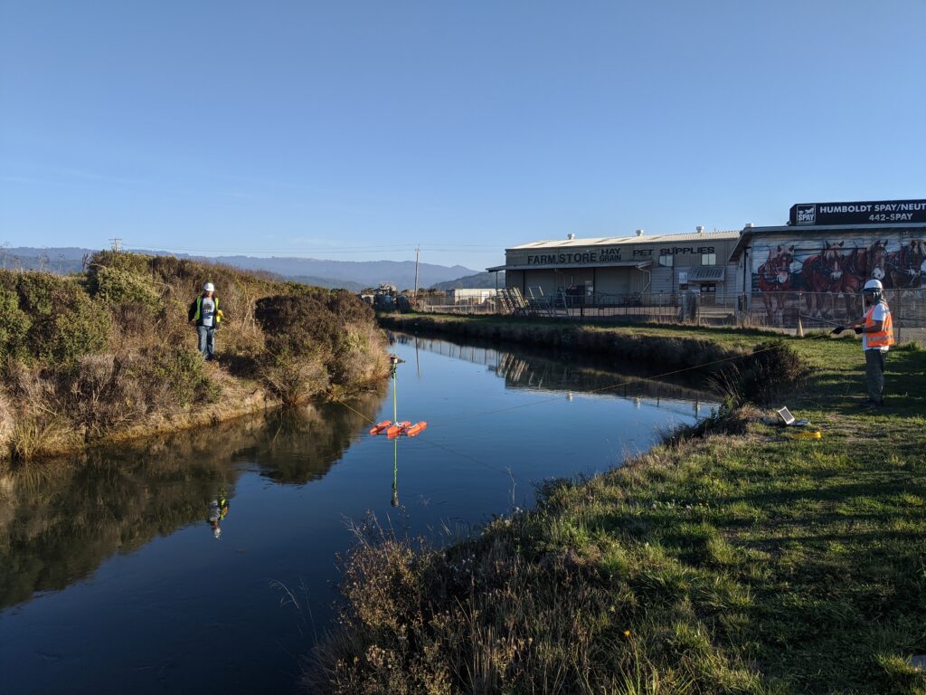
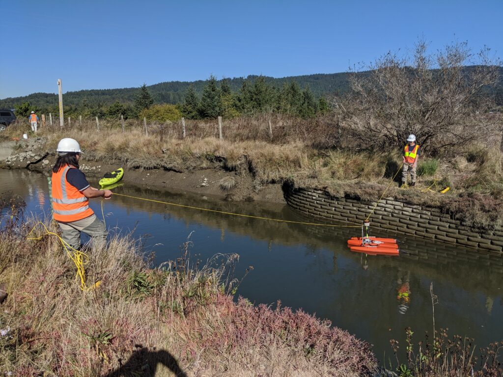
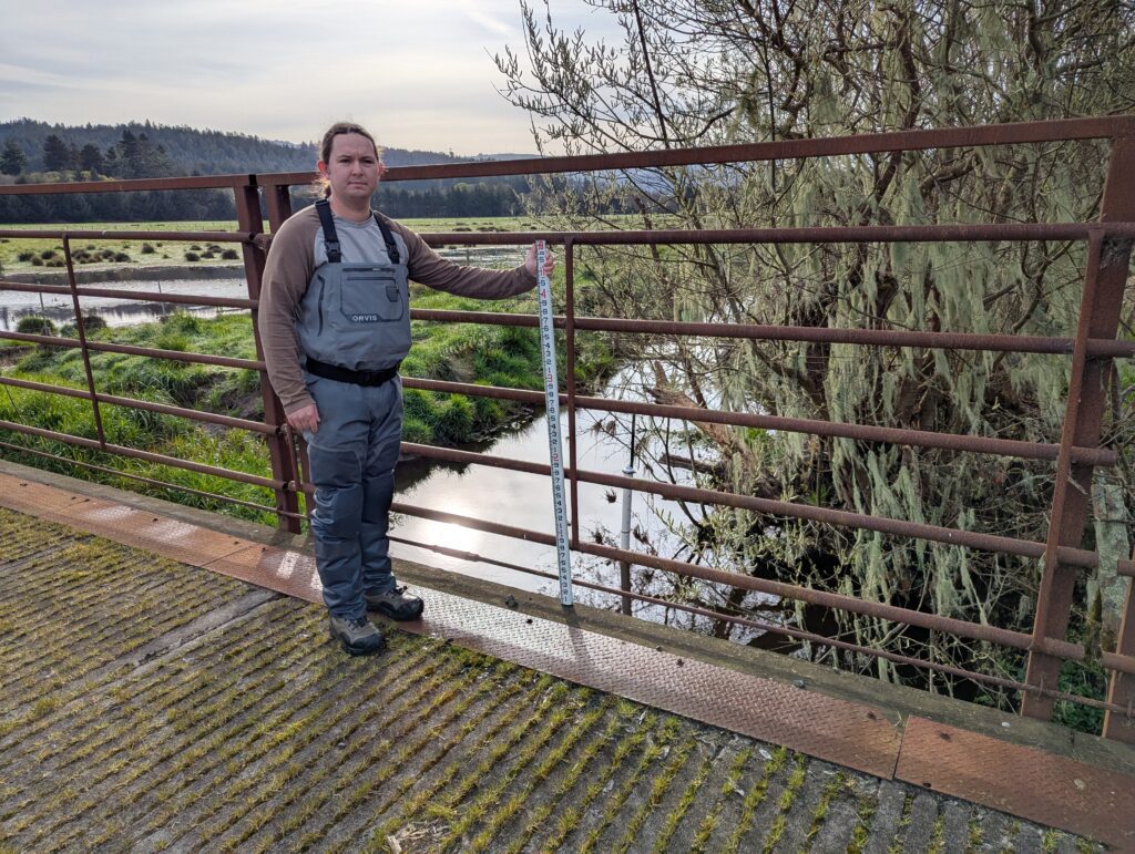
Mr. Gast’s primary responsibility for this project was to inform the construction of a Water Balance Model for the basin from surface flow measurements taken from multiple locations on both the mainstem Eel and the lower Van Duzen River - an important lower Eel River tributary. Analysis of surface flow data was identified as a critical piece of the water balance, and Mr. Gast was responsible for the final siting, design, and implementation of the surface water measurements (Figure 3). He is also supervising QA/QC of all field data and outputs from the software, and was preparing figures and final reports.
Project: ADCP Velocities Data Portal Development (2019)
The Department of Water Resources (DWR) and Environmental Science Associates (ESA) subcontracted Thomas Gast & Associates Environmental Consultants (TGAEC), Dr. James Graham, and Humboldt State University (HSU) to create a website to present water velocity data for an internal GIS-based web tool. The purpose of this project was to allow policymakers and land managers to see the changes in velocity and flow direction that occur in the San Joaquin Delta. These flow changes can inadvertently lead fish to travel to pumps that send water to Southern California, rather than out to the San Francisco Bay. This is a cause of fish mortality and can have negative impacts on the food web of the ecosystem. The visualizations created with the GIS-based web tool take abstract tabular data and display it as something tangible that is understandable by both scientists and civilians.
The web tool incorporates geospatial ADCP (Acoustic Doppler Current Profiler) hydrodynamic data for viewing, downloading, and analysis of water current measurements within the Sacramento/San Joaquin Delta. The current measurements were captured using fixed ADCPs mounted on one side of a channel that recorded velocities at points across the channel. These measurements were captured in multiple time series for multiple locations and visualized in the form of georeferenced animations. The main interface of the tool is a map with the ability to toggle between multiple types of raster and vector GIS data. There are additional features, including a profile tool that graphs the velocity over a user-defined transect, and the CDEC tool that provides insight into how the flows at one location fit into the larger context of the delta. In addition to displaying the data, the website presents the option for users to download data in multiple formats. TGAEC and Dr. Graham developed this tool with ESA and DWR through an iterative process to ensure that it met their needs.
California Water Data Challenge (2016)
Contemporary technology facilitates rapid data collection and the ability to store copious amounts of data. These data, which include multi-variate attributes and can span many years, contain a wealth of information, but transforming vast amounts of information into actionable results can be problematic for interdisciplinary resource managers. Most 2D and 3D visualization techniques are adequate for basic analysis but fall short when one needs to analyze both conspicuous and subtle data patterns over time. These expansive datasets can be visualized by harnessing the power of the unique raster time-series visualization method. This method reveals trends across the entire temporal spectrum, from seconds to weeks to years. By viewing water resource datasets through this new lens, a more thorough understanding of historic, current, and future water resource challenges is achieved. The Visual Data Analytics, LLC, TGAEC, and Golden Software team was one of the top five entries, and selected to give a presentation to California Department of Water Resources.
Gallery